Plenary Session: Science for Solutions: Emerging Issues of Data Generation, Processing and Sharing
Thursday, 13 November, 2025 | 8:00 AM - 9:30 AM
Description
Measuring and tracking changes in our coasts have taken numerous well-established forms. But the generation, processing, and sharing of data are undergoing rapid changes in coastal and estuarine science. Open science, crowdsourcing data, and data analysis have changed who participates in directing and making scientific observations, provides analytical effort to data analysis and even receives information. The basic tenets of what constitute scientific data are evolving as researchers merge domains of knowledge to include different kinds of traditional ecological knowledge (TEK) and new technical tools. Against this backdrop, there is a growing need to rethink who owns these data and recognize existing sovereignty.
Modeling tools, such as generative AI and machine learning (ML), are rapidly being integrated into scientific software and big data analysis to change the fundamental nature of data processing. As regional, national, or global change in coastal and estuarine processes and patterns are being addressed, many of these new data frontiers are coming to the fore, individually or in concert. Topical areas for discussion include how researchers, environmental managers, and communities are tracking coastal change and addressing open science, remote sensing, TEK, crowdsourcing, sustainability of partner relationships, model forecasting, and the intricacies of data sharing through all steps.
Speakers
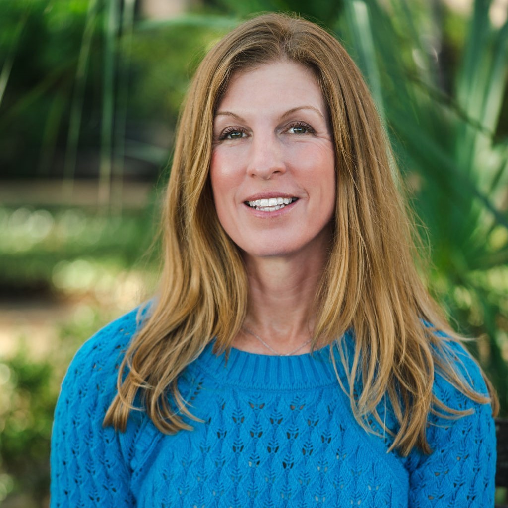 Jennifer Dorton, Deputy Director, Southeast Coastal Ocean Observing System (SECOORA) Jennifer Dorton, Deputy Director, Southeast Coastal Ocean Observing System (SECOORA)
Jennifer Dorton is the Deputy Director for the Southeast Coastal Ocean Observing System (SECOORA), one of the 11 NOAA Integrated Ocean Observing System regional associations. Jennifer is responsible for implementing SECOORA’s regional coastal and ocean observing system and associated data management and communications strategy. The SECOORA observing system has evolved to include lower cost sensors to meet community level needs for water level data, camera imagery, and wave data. These sensors help fill gaps in geographic coverage and provide targeted data that supports marine operations, emergency planning, and coastal management. Prior to working with SECOORA, Jennifer led grant funded projects at the University of North Carolina Wilmington (UNCW), including UNCW’s buoy program (cormp.org) and the development of user-driven products such as the Marine Weather Portal.
Natalie Nelson
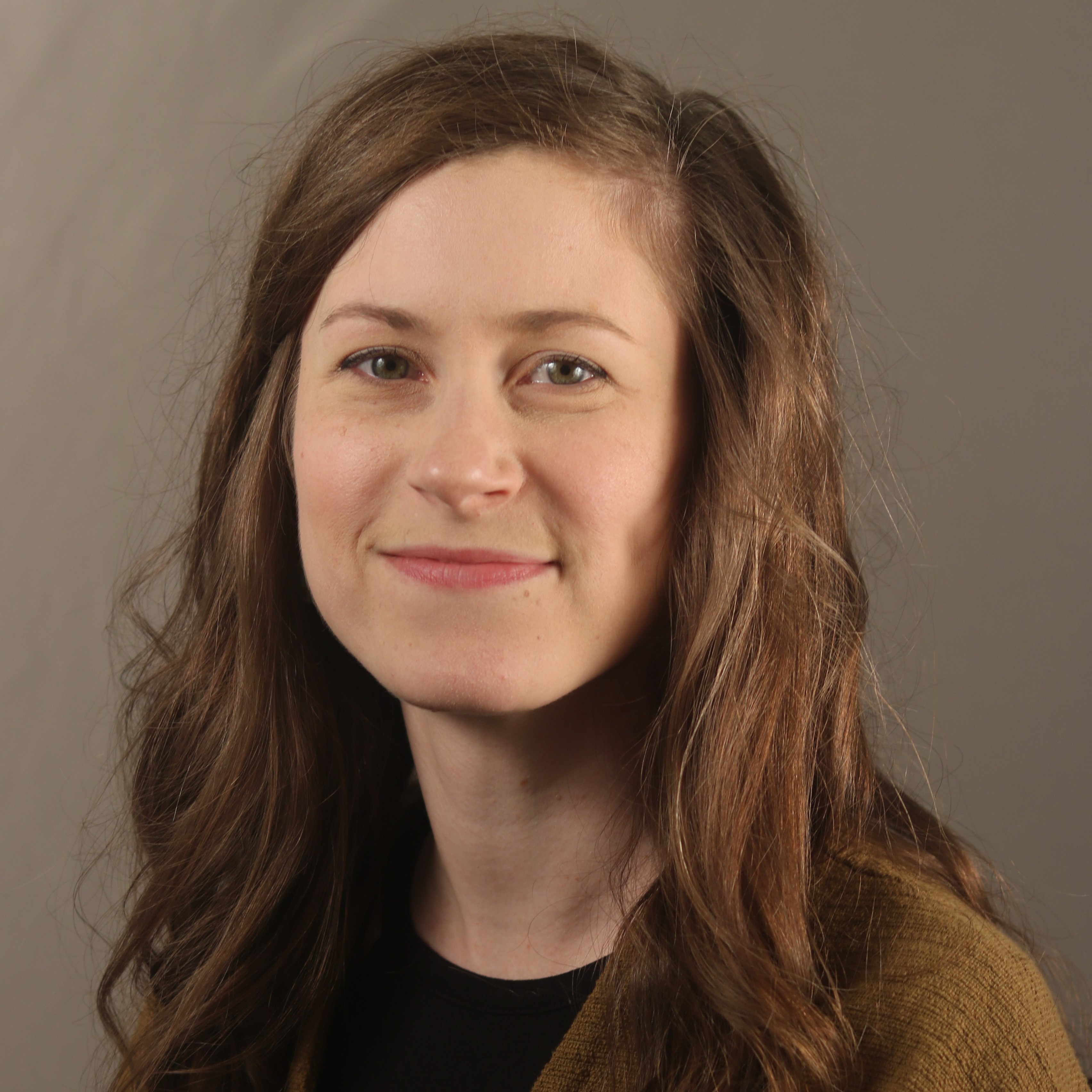
Natalie Nelson is an Associate Professor and University Faculty Scholar in the Biological and Agricultural Engineering Department at North Carolina State University, where she is also a Faculty Fellow in the Center for Geospatial Analytics. She is the Principal Investigator of the Coastal and Watershed Analytics Lab (CWAL). The CWAL team characterizes and models nonpoint source pollution in coastal and inland surface waters, and takes a watershed-scale approach to studying where and why nonpoint source pollution occurs. She has been recognized as a Rising Star in Environmental Research by ACS Environmental Au, Early Career Research Fellow by the Gulf Research Program, and CAREER Award recipient by the U.S. National Science Foundation.
Matthew Bethel
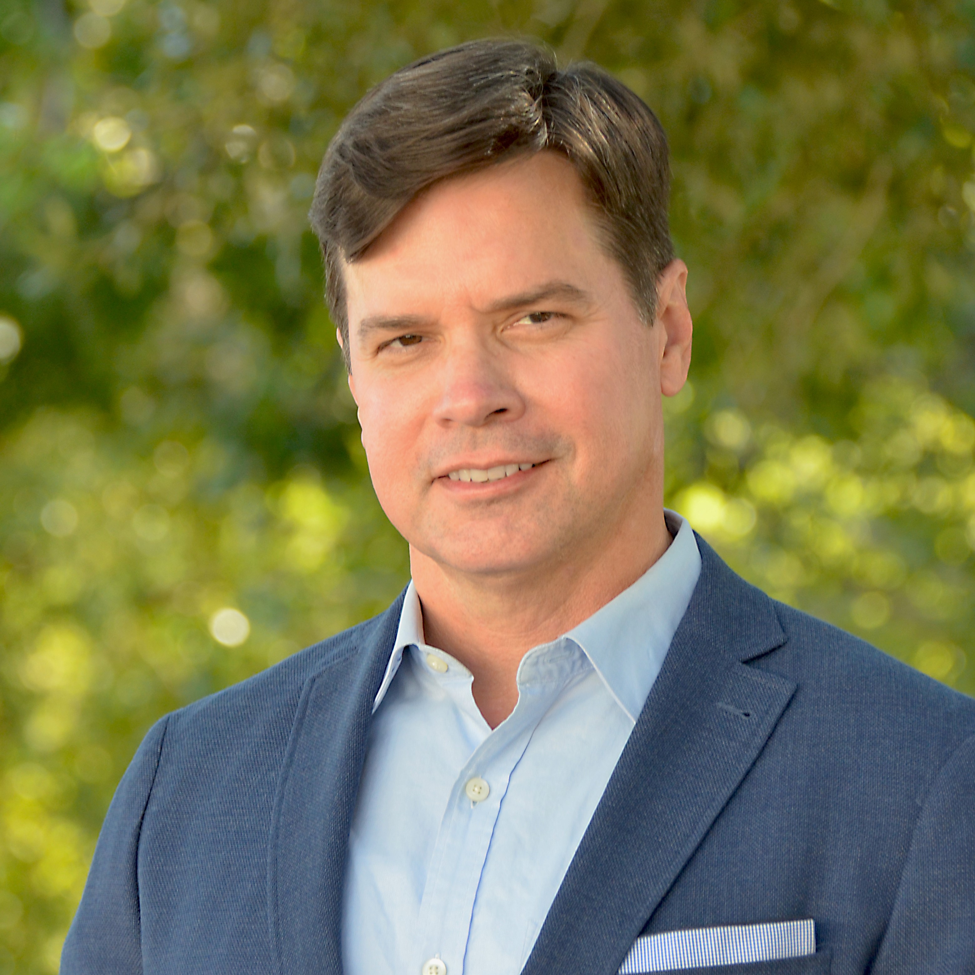
Dr. Matthew Bethel is the Associate Executive Director of Research for Louisiana Sea Grant at Louisiana State University. He is responsible for managing Louisiana Sea Grant’s research and student fellowships programs. He also leads a research program based on his 20+ years of experience in the application of geospatial technology for trans-disciplinary studies that addresses data and information needs for combined social and ecological decision support systems. Matt has focused these efforts working with coastal communities to enhance hazard mitigation and climate adaptation planning processes through collaborative partnerships that utilize both science-based information and the traditional ecological knowledge (TEK) of local partners in a complementary way to inform local, state, and regional-level decision-making.
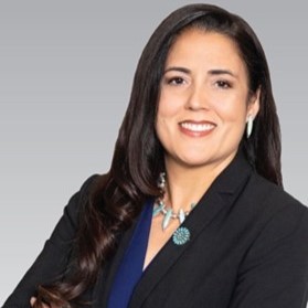 Patty Ferguson-Bohnee Patty Ferguson-Bohnee
Patty Ferguson-Bohnee is the Director of the Indian Legal Clinic, Faculty Director of the Indian Legal Program, Clinical Professor of Law, and Associate Dean of Inclusive Excellence at the Sandra Day O'Connor College of Law at Arizona State University. She is an Associate Justice of the Hualapai Court of Appeals and is Of-Counsel in the Indian Law Practice Group at Sacks Tierney, P.A. She is a member of the Pointe-au-Chien Indian Tribe.
Patty has substantial experience in Indian law, election law, voting rights, environmental justice, and status clarification for tribes. She has been highly involved in the federal recognition process and religious freedom for nonrecognized tribal members. She also advocates for the rights of unrecognized tribes in response to environmental disasters. She has testified before Congress, the Louisiana Legislature, and the Inter American Commission on Human Rights regarding tribal recognition, climate displacement, and human rights issues. She successfully assisted four bayou tribes in obtaining recognition from the State of Louisiana. She recently assisted four Louisiana coastal tribes and an Alaska Tribe in preparing a complaint that was filed with the United Nations alleging human rights violations.
|

 Jennifer Dorton, Deputy Director, Southeast Coastal Ocean Observing System (SECOORA)

 Patty Ferguson-Bohnee