2025 Tools to Support SAV Monitoring and Restoration Planning Workshop
9:00 AM – 12:00 PM | Sunday, 9 November | Room E10-C
$75 Regular Price | $52 Student Price
This workshop will share both presentations on emerging technologies by invited experts with opportunities for participants to explore how they can be applied operationally and information on best practices that have been shown to be operationally effective and efficient. The workshop will be coordinated by the SAV Mapping/Monitoring Community of Practice (CoP), and continue a long history of similar workshops at CERF. In addition to information shared during the workshop, participants will be provided with online resources, and encouraged to continue the discussion on our online collaboration forum.
Speaker(s)
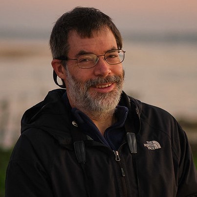 David Wilcox David Wilcox
David Wilcox helps manage and provides GIS and programming support for the annual Chesapeake Bay SAV aerial monitoring program at the Virginia Institute of Marine Science, College of William & Mary. Dave received his Master’s in Geography from Ohio State University and has more than three decades of SAV mapping experience.
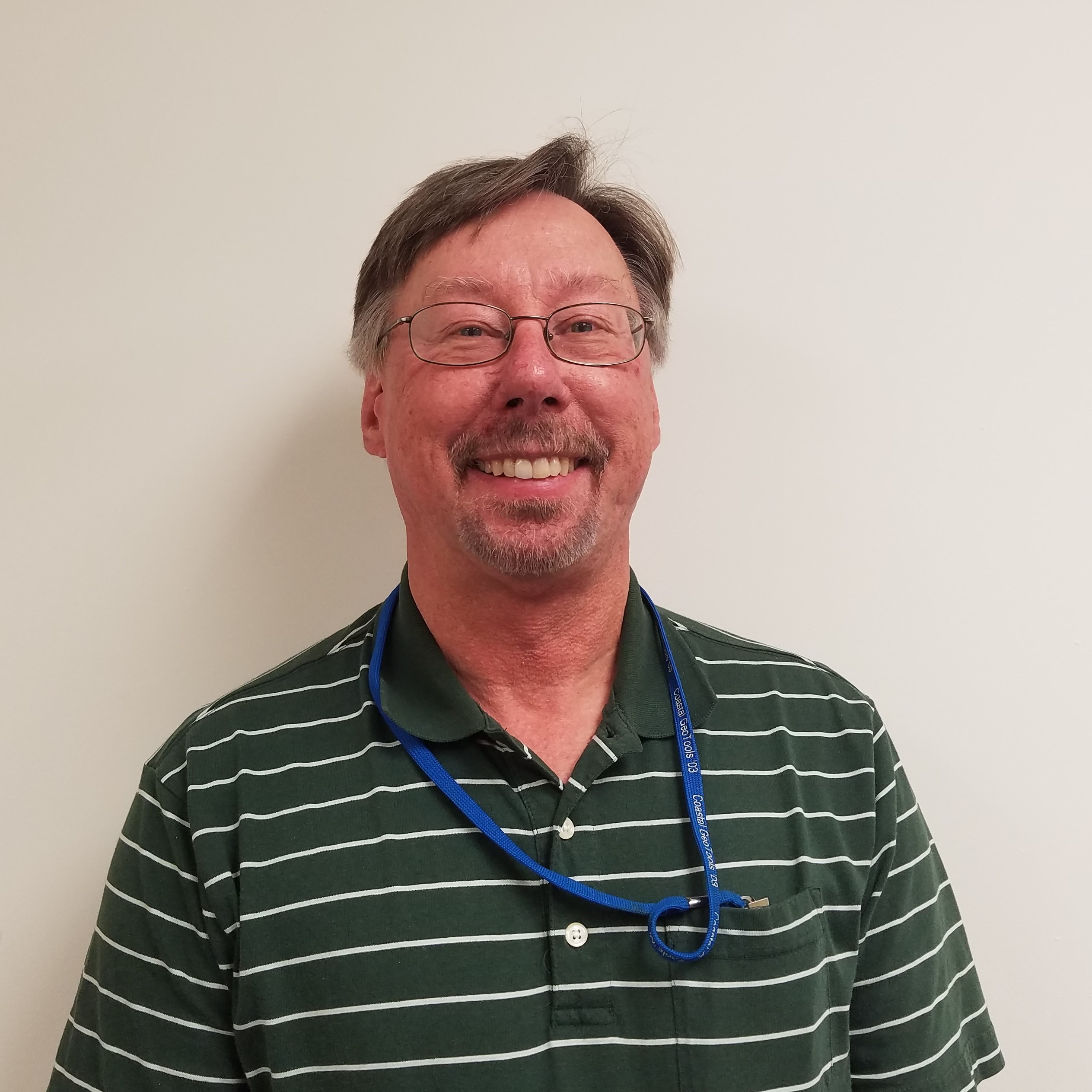 Mark Finkbeiner Mark Finkbeiner
Mark Finkbeiner, recently retired from the NOAA Office for Coastal Management (OCM), where he led OCM's benthic mapping efforts for 29 years. His focus was on SAV mapping and ecological classification standard development. Prior to his work at NOAA, Mark was a spatial analyst at EPA's former Environmental Monitoring Systems Laboratory-Las Vegas. Mark's educational background includes a B.S. from Northern Arizona University and graduate study at the University of Nevada-Las Vegas.
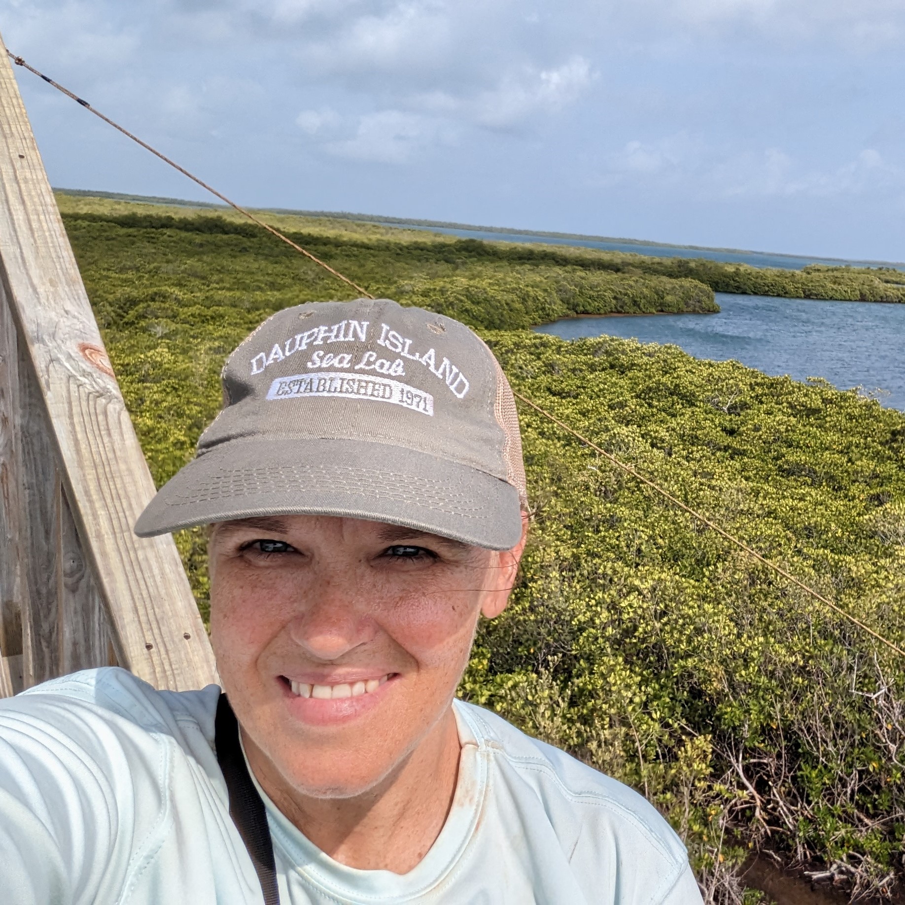 Dottie Byron Dottie Byron
Dorothy “Dottie” Byron has been working in seagrass ecosystems for over 25 years. She holds a Masters degree from Florida International University and is currently working (part-time) completing her PhD at the University of South Alabama, while also serving as the Deputy Director for the RESTORE Act funded Alabama Center of Excellence. Her research focuses on submerged aquatic vegetation mapping and monitoring, SAV restoration, and shoreline habitat restoration. While much of her work has been in seagrass habitats, for the past 6 years her focus has shifted to the freshwater SAV in the Mobile-Tensaw Delta. She is involved with the Mobile Bay National Estuary Program: Scientific Advisory Committee, the Gulf of America Alliance: Seagrass Community of Practice, and CERF’s Seagrass Community of Practice.
|

 David Wilcox
 Mark Finkbeiner
 Dottie Byron